If you’re looking to build an app that uses the Geoloqi API, you might find the following diagrams useful.
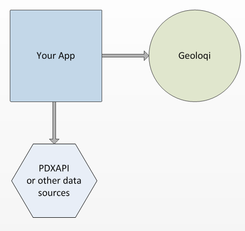
1. Your application can trigger an action when the user enters a location. To do this, you can simply instruct Geoloqi to notify your app when a user enters an area.
For example, your app can tell Geoloqi to let it know when the user is inside a region defined by a latitude, longitude and radius. Geoloqi will only give away the user’s location when his GPS enabled phone enters one of those areas, preserving privacy.
Your app sends Geoloqi a lat, long radius and callback URL, and Geoloqi stores the trigger, allowing your app to be notified of the user’s location without you having to track the user’s location yourself.
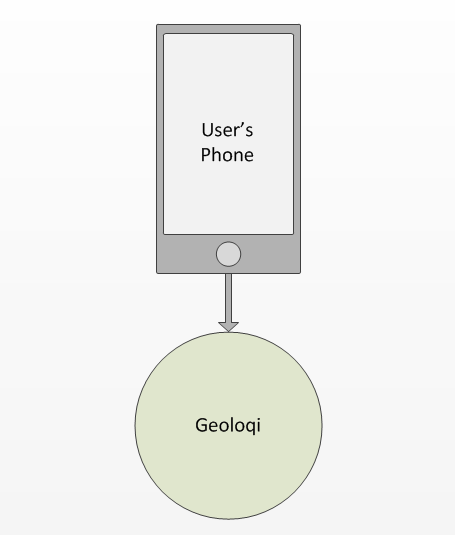
2. When the user runs Geoloqi or Instamapper, their phone continually reports its location to the Geoloqi API.
Geoloqi internally processes the user’s location and compares the location with your app’s location triggers.
If the user’s GPS enabled phone enters within one of the areas set as a trigger zone, the user gets a message or action.
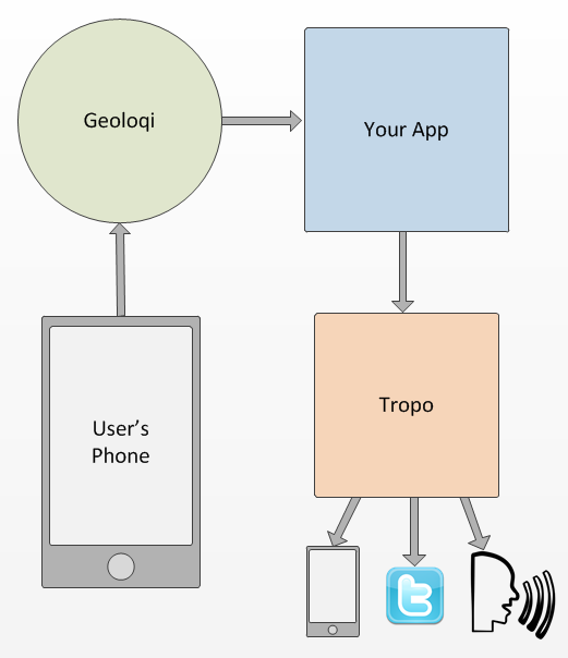
3. When the user enters one of your triggers, Geoloqi sends an update to your callback URL.
You can instruct Tropo to send an SMS or make a phone call to the user’s phone, user’s friend’s phone , twitter or a variety of other sources.
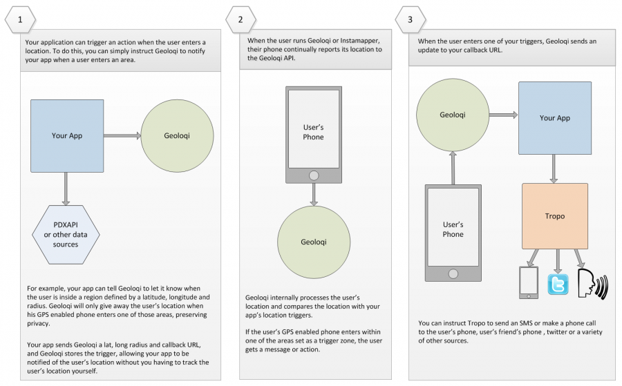
Full image: click to enlarge.


