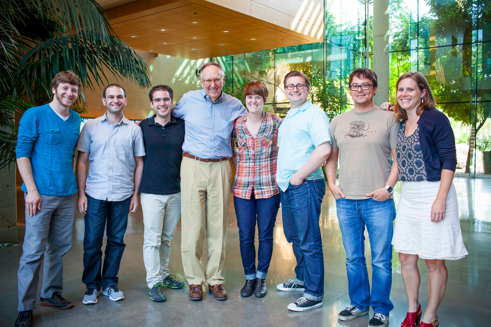
Geoloqi is now part of Esri!
Geoloqi’s team and technology are joining Esri, the world’s leader in mapping technology and geographic systems, to bring powerful next-gen location and mapping technology to market for mobile and web apps.
Geoloqi HQ is now the the Portland Esri R&D Center! The two companies have joined forces, and we’re unveiling our first product together – a powerful new geocoding enhancement to the Geoloqi API. Geoloqi’s team, products and services will continue to exist and will be supported by the Geoloqi team.
In the future, Geoloqi products and services will be integrated into ArcGIS online and be available through a new developer-friendly pricing model similar to the existing Geoloqi model. The intent is to continue to improve products and services as they are rolled into the new combined platform. This will result in better support, user experience and sample code for developers, as well as an increasing number of opportunities for new and existing ArcGIS customers and new industry verticals.

What new features can we expect with the acquisition?
Post-acquisition, developers will have access to a geocoding service powered by Esri, provided through the Geoloqi API.
Geocoding service overview:
The Geoloqi API now supports geocoding & reverse geocoding. The ArcGIS SDK provides an alternative to Apple’s maps for incorporating a map into mobile app, with support for any device. We are adding the geocoding capability to our existing API.
Geocoding
When creating a geotrigger rule, developers can now provide an address instead of a latitude and longitude. Internally, the Geoloqi API geocodes the address using the ArcGIS Geocoding service and finds the latitude, longitude and chooses an appropriate size for the trigger. This service will be live at the end of the day on Oct 15th.
Reverse Geocoding
When retrieving information about triggers that have run, or the locations of devices, the information returned is now enriched with the city, state and country of the location by using the ArcGIS Reverse Geocoding service. We can also provide the street address for reverse geocoding.
MapKit Alternative
Esri and Geoloqi will offer a new mapping library powered by the ArcGIS SDKs for iOS. The release of the ArcGIS alternative to MapKit will allow developers to have more options for maps in iOS 6 and beyond. The ArcGIS iOS SDK provides developers with an alternative to MapKit, the default mapping library on iOS. The ArcGIS SDK provides access to high quality map tiles in a programming interface similar to MapKit.
Why is this awesome?
Many external geocoding services have strict limits on usage and licensing, and many don’t allow developers to store the results of the geocoding API call, only letting them use the data one time. With Esri, you own your own data. The results of the geocode can be used in conjunction with any other service.
How can we get it?
Enterprises and developers will be able to buy Geoloqi’s core features and geocoding service powered by Esri through Geoloqi’s website. See Geoloqi’s pricing page for details. In the future, all of Geoloqi’s features and products will be available in the same form through ArcGIS online with an improved and developer-friendly pricing model and feature set.
Who is Esri?
Esri develops geographic information systems (GIS) software that functions as an integral component in nearly every type of organization. On any given day, more than a million people around the world use Esri’s ArcGIS software. In addition, Esri has over 350,000 customers, serving many verticals. Esri was founded in 1969 by Jack and Laura Dangermond and employs 2,900 people worldwide.
Who are Esri’s customers?
Over 350,000 customers, serving many verticals.
How much did Esri purchase Geoloqi for?
Esri is a private company. The purchase price is undisclosed.
Follow Us!
You can follow @geoloqi and @esri on Twitter for more information.
Any other questions?
You can read more in the Geoloqi Acquisition FAQ.
And one more thing…
We’re keeping the dinosaur!


