Norway’s Hyper Interaktiv Uses Geoloqi for iPhone to Track Balloon Flight 17 km in the Air!
When we heard from Hyper Interaktiv’s Atle Mo (@atlemo) that he had tracked a balloon with Geoloqi and wanted to export the data to Google Earth, Geoloqi co-founder Aaron Parecki whipped a quick KML export feature for the team.
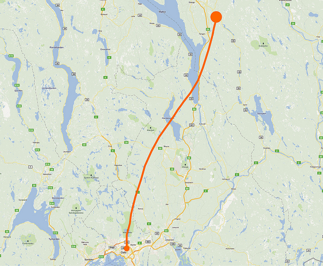
The team was able to track the Balloon’s flight from the ground on the Geoloqi website and were able to use the trail to find the after it came back down to Earth. They also generated a bunch of images of the balloon’s flight using the Geoloqi data.
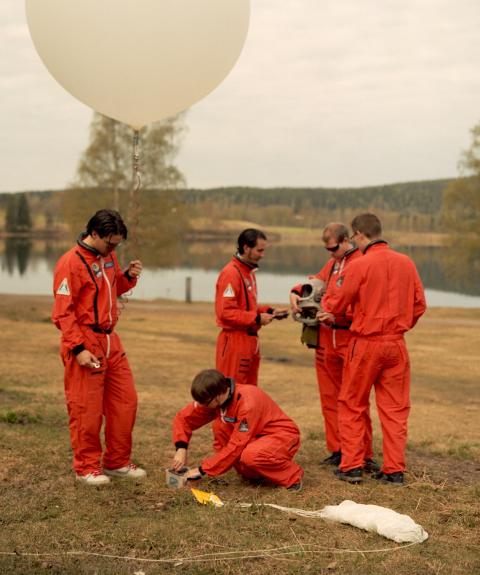
The Hyper Interactive team launched a high-altitude balloon on August 25th from Oslo, Norway at the Hyper.no office. The balloon was launched in celebration of Hyper’s 10th anniversary. The balloon went up to 17 kilometers in the air before exploding and then floating down to Earth to land in a tree.
Tracking the Balloon with Geoloqi
The team used an iPhone 4 with Geoloqi to track the flight and a Hero GoPro HD camera to videotape the flight.
The highest altitude reached was 17,97 km and the travel distance was around 120 km. The team used the Geoloqi website to track the balloon once it touched down!
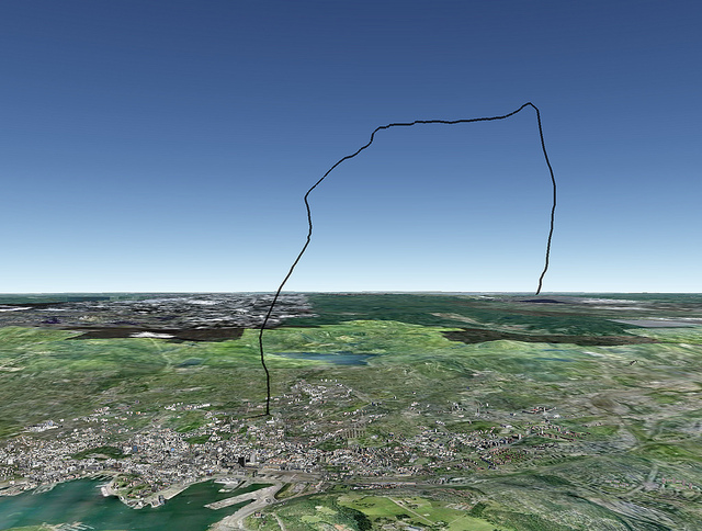
Google Earth View

Atle Mo used Geoloqi’s KML export to view the flight data in Google Earth.
Video of the Flight:
Their video shows the full flight of the balloon. You can see it rise up to 17 km before slowly falling and landing in a tree.
Norwegian publication Dagbladet.no also covered the story if you’d like to learn more about the flight and the team! Also check out Hyper Interaktiv!

