Posted

Tue Apr 23 2013, 4:16pm

By caseorganic

Categories

News

Tagged

Update on the Geoloqi for Titanium Module

We’ve had a great time making the Titanium module available for Geoloqi. As we move forward towards the next version of the Geoloqi platform, we’ve decided to consolidate our efforts around native SDKs and apps. We really enjoyed having a module for Titanium, but having a third SDK to maintain, develop and support takes our efforts away from providing the best SDKs for our iOS and Android. Although this may be disappointing news to some of you, we want to ensure the best quality of product possible, and ensuring that our SDKs work best on iOS and Android native applications is our first goal. As of this time, the Geoloqi module for Titanium has been removed from the Titanium marketplace, and starting July 2013, we will no longer be supporting Geoloqi for Titanium.

What does this mean for you?

If you have an existing application built with the Geoloqi module for Titanium, you’ll be able to continue using it until Dec 2014. We will continue providing support to non-enterprise customers through July 2013 and to our paying customers who are using the Titanium module through December 2014.

We’ll be releasing a new version of the Geotrigger platform and SDKs through http://developers.arcgis.com in June that will be available for native iOS and Android developers.

Update: Titanium Modules Now Open Source!

Due to interest, we wanted to make sure our community could still develop with the Titanium module. Below are links to the source code for the Geoloqi iPhone and Android Titanium Modules. Important! This code was not developed in house at Geoloqi, and is no longer supported by us. Due to time restrictions, we won’t be able to answer questions about this code. This code has been released under the Apache license.

iPhone SDK module for Titanium

Android SDK module for Titanium

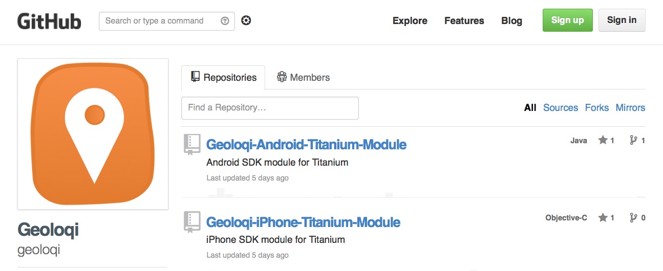
Geoloqi Module for Titanium on Github

Thank you,
Amber Case, Co-founder, Geoloqi

Posted

Tue Jan 8 2013, 5:17pm

By caseorganic

Categories

Uncategorized

Tagged

Let us buy you a beer! (or your choice of non-alcholohic beverage) at APIs and IPAs at Green Dragon in Portland, Oregon!

APIs and IPAs in Portland Oregon

Esri/Geoloqi is sponsoring APIs and IPAs at Green Dragon on Jan 24th, 2013! We wanted to thank all of you for being such an incredible community, testing and supporting our efforts as young entrepreneurs, and helping us understand how to make better apps and developer tools. Come have a drink on us in one of the places where it all began – Green Dragon! Green Dragon is where I met my co-founder Aaron Parecki in October 2009, and it’s been a watering hole for the Portland tech community for years with the now defunct weekly Beer and Blogs.

Where?

The Green Dragon
928 Southeast 9th Avenue
Portland, OR 97214

When?

Thursday, January 24, 2013 from 6:00 PM to 8:00 PM (PST)
Calagator Link

What is APIs & IPAs?

It’s simple – you show up and some nice local companies foot the bill for drinks. Meet interesting people and talk shop, and that’s it! Join Singly, Puppet Labs, NetworkRedux, Esri/Geoloqi and Silicon Florist in celebrating the tech community in Portland!

Thanks to:

Posted

Tue Jan 8 2013, 4:16pm

By caseorganic

Categories

Events

Tagged

Esri/Geoloqi/Foursquare Hackathon Recap from San Francisco!

Geoloqi/Esri had a great time at the Foursquare Hackathon this weekend! Not only did tons of people show up to hack (over 200 globally, 100 at the NYC office, and around 50 at the SF office), we got to hang out with our friends Jim Young and Bronwyn Agrios from Esri’s SF office!

Together we built interesting stuff, saw interesting hacks, and met lots of new people.

Kyle Drake shows the output of the NASDAQ API to a hackathon participant

Esri/Geoloqi platform developer Kyle Drake (top right) shows the output of the NASDAQ API to a hackathon participant.

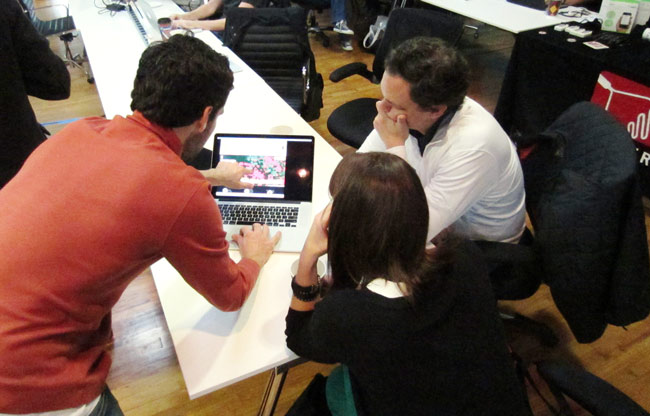
Jim and Bronwyn

Jim Young and Bronwyn Agrios (top right) from the Esri SF get a demo from a fellow hackathon participant.

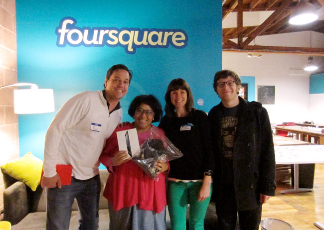
Winner of the Esri/Geoloqi prize at Foursquare Hackathon

We awarded an iPad prize to Leah Vaughan (second from left) for her great use of an Esri map! Her app was called “Stuck at the Airport”. It recommends interesting places/things to see around you when you’re in transit areas (train satins, airports, rest stops, etc.).

Also, Kyle Drake, Aaron Parecki and I put together a hack using the NASDAQ and Foursquare APIs called NASDAQ Facts (below).

NASDAQ Facts for Foursquare tells you the stock price of every public company you check into. Stock markets are about more than numbers. Discover which places on Foursquare you visit are public companies, get information on how they are doing, and learn more about them by clicking on a link. The information automatically appears on your Foursquare app after checking into a place! (We ended up winning a flying shark for this hack!).

We finished our hacking early, so Kyle Drake hung out in the Foursquare office hammock.

See you next time!

You can see a list of all the Foursquare Hackathon projects here, as well as the local winners and global winners! If you’d like to build cool stuff with us in the future, let us know! Who knows? We may soon be coming to a hack day near you!

Follow us!

(You can find Jim and Bronwyn at SF’s Hatchery!)

Posted

Thu Jan 3 2013, 2:14pm

By Aaron Parecki

Categories

Events

Tagged

Join Geoloqi and Esri at the Foursquare Hackathon in San Francisco!

The Foursquare Hackathon returns this weekend! Come build great connected apps using Geoloqi‘s Geotrigger platform (now a part of Esri!) this Saturday January 5th at Foursquare HQ in SF. Today is the last day to sign up!

View from Foursquare SF Offices

Prizes!

Build something amazing and you might just find yourself ringing the NASDAQ closing bell, rocking tickets to SXSW, partying with an action figure version of yourself, or wearing the infamous foursquare hackathon TITLE BELT.

What tech can you use?

Interested in adding location-based messaging to an app? How about getting an alert when you are around items on you Foursquare todo list? Start with the Geoloqi SDK for iPhone or Android, then max it out with Esri maps, intelligent routing, geocoding and more. Consider what your app could do if it knew where it was all the time then add the awesomeness of Foursquare to the picture.

Check out the other ideas on the Hackathon Wishlist that require alerts based on proximity or dwell time.

Sign Up!

You can get a head start on this weekend by signing up for a free account on developers.geoloqi.com, checking out our GitHub repository github.com/geoloqi, and downloading our sample apps from the Apple or Android app stores (for the frequent flier, try Everyday City which lets you automatically share the cities you visit).

We’ll have folks from our SF and Portland teams there to get you started using the technology and brainstorm great ideas. Hope to see you there.

Geoloqi is now part of Esri!

Geoloqi’s team and technology are joining Esri, the world’s leader in mapping technology and geographic systems, to bring powerful next-gen location and mapping technology to market for mobile and web apps.

Geoloqi HQ is now the the Portland Esri R&D Center! The two companies have joined forces, and we’re unveiling our first product together – a powerful new geocoding enhancement to the Geoloqi API. Geoloqi’s team, products and services will continue to exist and will be supported by the Geoloqi team.

In the future, Geoloqi products and services will be integrated into ArcGIS online and be available through a new developer-friendly pricing model similar to the existing Geoloqi model. The intent is to continue to improve products and services as they are rolled into the new combined platform. This will result in better support, user experience and sample code for developers, as well as an increasing number of opportunities for new and existing ArcGIS customers and new industry verticals.
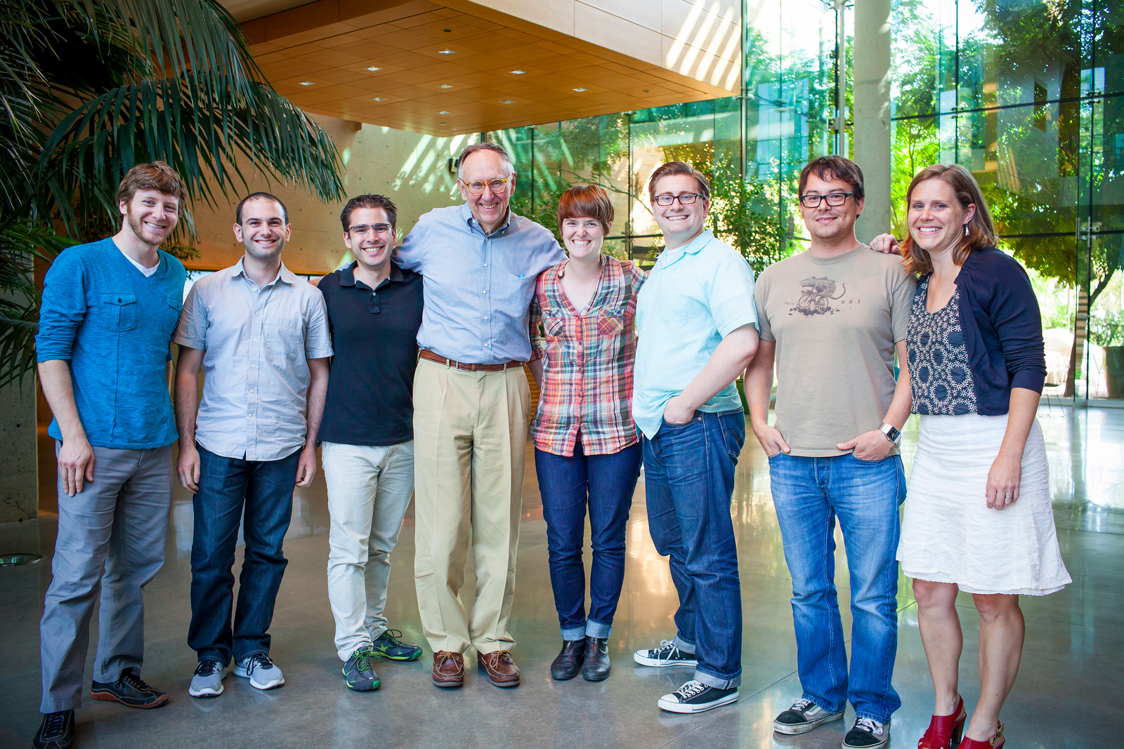
Esri and Geoloqi Join Forces

What new features can we expect with the acquisition?

Post-acquisition, developers will have access to a geocoding service powered by Esri, provided through the Geoloqi API.

Geocoding service overview:

The Geoloqi API now supports geocoding & reverse geocoding. The ArcGIS SDK provides an alternative to Apple’s maps for incorporating a map into mobile app, with support for any device. We are adding the geocoding capability to our existing API.

Geocoding

When creating a geotrigger rule, developers can now provide an address instead of a latitude and longitude. Internally, the Geoloqi API geocodes the address using the ArcGIS Geocoding service and finds the latitude, longitude and chooses an appropriate size for the trigger. This service will be live at the end of the day on Oct 15th.

Reverse Geocoding

When retrieving information about triggers that have run, or the locations of devices, the information returned is now enriched with the city, state and country of the location by using the ArcGIS Reverse Geocoding service. We can also provide the street address for reverse geocoding.

MapKit Alternative

Esri and Geoloqi will offer a new mapping library powered by the ArcGIS SDKs for iOS. The release of the ArcGIS alternative to MapKit will allow developers to have more options for maps in iOS 6 and beyond. The ArcGIS iOS SDK provides developers with an alternative to MapKit, the default mapping library on iOS. The ArcGIS SDK provides access to high quality map tiles in a programming interface similar to MapKit.

Why is this awesome?

Many external geocoding services have strict limits on usage and licensing, and many don’t allow developers to store the results of the geocoding API call, only letting them use the data one time. With Esri, you own your own data. The results of the geocode can be used in conjunction with any other service.

How can we get it?

Enterprises and developers will be able to buy Geoloqi’s core features and geocoding service powered by Esri through Geoloqi’s website. See Geoloqi’s pricing page for details. In the future, all of Geoloqi’s features and products will be available in the same form through ArcGIS online with an improved and developer-friendly pricing model and feature set.

Who is Esri?

Esri develops geographic information systems (GIS) software that functions as an integral component in nearly every type of organization. On any given day, more than a million people around the world use Esri’s ArcGIS software. In addition, Esri has over 350,000 customers, serving many verticals. Esri was founded in 1969 by Jack and Laura Dangermond and employs 2,900 people worldwide.

Who are Esri’s customers?

Over 350,000 customers, serving many verticals.

How much did Esri purchase Geoloqi for?

Esri is a private company. The purchase price is undisclosed.

Follow Us!

You can follow @geoloqi and @esri on Twitter for more information.

Any other questions?

You can read more in the Geoloqi Acquisition FAQ.

And one more thing…

We’re keeping the dinosaur!